EXPLORE DEVIL’S DEN
Nature Preserve
A Brief Description of Devil’s Den Nature Preserve
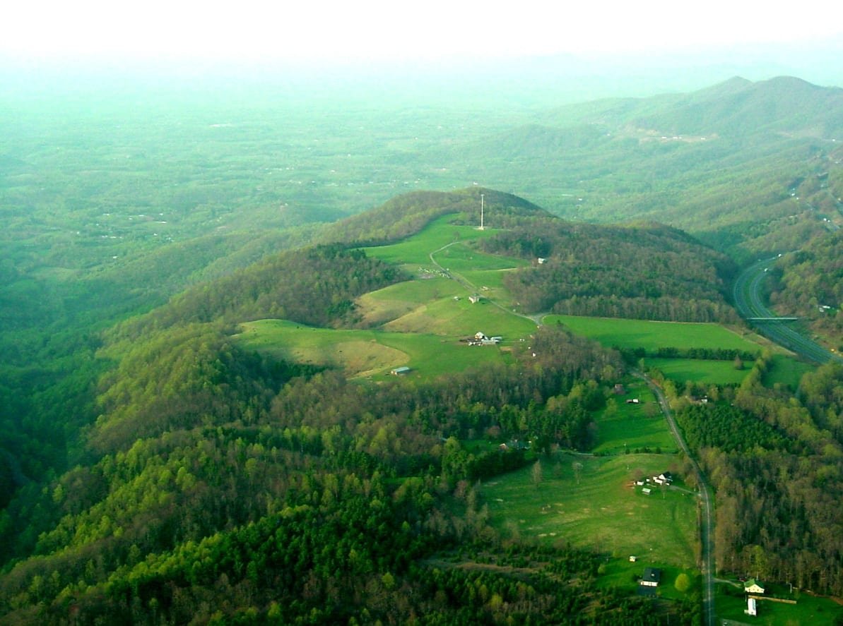
Elevation: 2906 ft. The name “Devil’s Den” refers to a 600-million-year-old rock formation. It was formed by the collision of the Appalachian and Piedmont rock encrustations. The top of the mountain was Morris family farmland. It was named Devil’s Den to keep people away from the property, and all sorts of stories were made up to "run them off". The nature preserve has 280 acres of land, which includes mature hardwood forests, a cleared plateau, and shrubby brush. A moderately strenuous 1.5 mile loop trail passes through most of these habitats. Red-eyed vireo, black-throated green and hooded warblers, wood thrush, scarlet tanager, and indigo bunting are common throughout the summer. Other wildlife viewing possibilities include white-tailed deer, eastern box turtle, wild turkey, ruffed grouse, and red fox. Big brown bat and other species of bats have been seen flying around this area. Look for butterflies such as great-spangled fritillary, eastern tiger swallowtail, and spicebush swallowtail, in the meadows.
Picture taken by Charles McCurry
More about Devil’s Den Nature Preserve
The Devil’s Den Nature Preserve is open May 1st thru October 31st, during daylight hours. There is no fee but donations are welcomed.
Morris Cemetery – located across the entrance road, this well-kept family cemetery is worth a visit. Be sure to marvel at the monument that stands alone. It is for Charles Morris, a medal of honor recipient from Carroll County.
Overlooks – We have two, fairly close to each other. One is tucked into the woods so it’s a good place for reflection. The main Overlook is special, so sit a spell and enjoy! Scroll down to Take a Hike section for a link to our Trail Map that shows Overlook location.
We have a few simple regulations - No hunting; no unauthorized motor vehicles past the road gate; no open fires; no alcohol. Do not pick flowers. Remove trash. Park only in the designated area.
We are dog friendly - they must be leashed. The neighbor’s dog escapes his yard unleashed to follow vehicles so he can greet you and hike with you. He is extremely friendly. Derrick says he loves belly rubs!
We have a large, covered pavilion with restrooms available, which can be reserved for special events. .


You can reserve our shelter for your private function. $40 holds it for exclusive use.
Shelter Reservations: Contact Us
We Are Kid Friendly
Enjoy the ABC Trail signs along the .3 mile trail section that starts behind the cemetery fencing. Play a tune on the Tubular Bells next to the main Overlook. There are numbers indicated to play a couple of tunes, but many others are possible!
Things to do
-
Hiking - Be sure to grab a trail map at the entrance kiosk! The trail to the cave has ABC Trail signs for the kids, young and old. There are 6 benches along the way, which become much appreciated on the way back! The longer section of the loop trail branches off before reaching the cave, the rest of the loop trail branches off. A 1.53-mile moderately strenuous loop starting at the kiosk. White disks (blazes) and white wooden arrows have been placed to guide you.
-
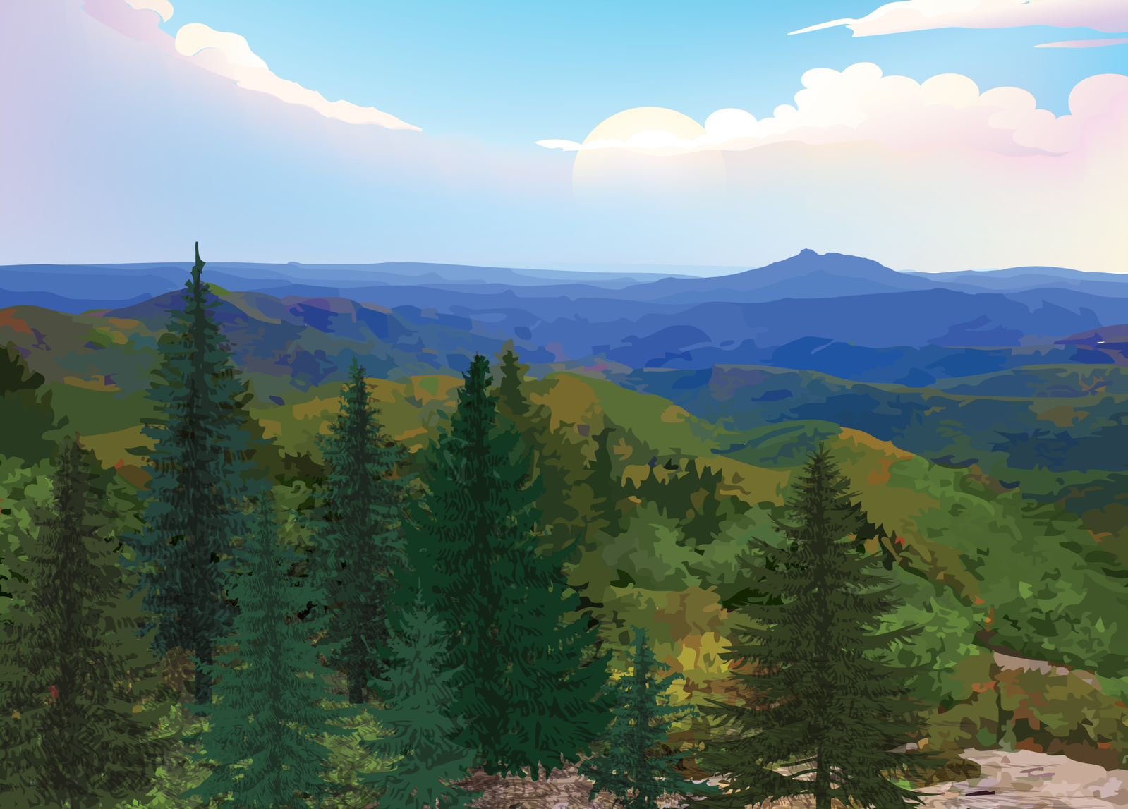
Devil’s Den Nature Preserve is a great place for photographers, new and old.
-
The New River Trail, one of the best biking and hiking trails in the nation is in Galax Virginia. One end starts in Galax, and one section travels to historic Fries, Virginia and the New River Park.

Ready to have an adventure?
Directions to Devil’s Den Nature Preserve:
Physical Address: 80 Cemetary Rd, Fancy Gap, VA
From Galax: go east on VA-97/Pipers Gap Rd, turn right onto SR-620/VA-97/Lambsburg Rd, turn right onto SR-608/Mt. Carroll Rd/Elmwood Rd, sharp left onto the Blue Ridge Pkwy, turn right onto Mountain View Ln, turn left onto SR-608/Old Appalachian Trail, turn right onto Cemetery Rd, and follow it to the parking area.
From Hillsville: go south on US-52 S/S. Main St. for 8 miles to Fancy Gap, turn right immediately after the Parkway underpass onto VA-608/Old Appalachian Trail, in approximately 1.3 miles turn left onto Cemetery Rd, and follow it to the parking area.